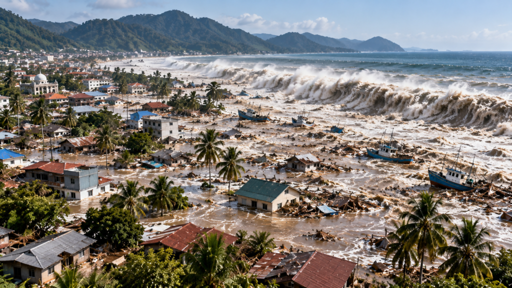
On December 26, 2004, at 00:58:53 UTC (7:58:53 a.m. in western Indonesia), a magnitude 9.1 earthquake struck offshore from northern Sumatra. The resulting Indian Ocean tsunami became the deadliest tsunami in recorded history. The US National Oceanic and Atmospheric Administration (NOAA) lists 227,898 dead or missing across affected countries.
How the catastrophe began
The earthquake ruptured the interface between the Indian Plate and the Burma microplate at the Sunda subduction zone. During the rupture, sections of the seafloor shifted and displaced an enormous mass of seawater. The US Geological Survey locates the earthquake near 3.295°N, 95.982°E at a revised depth of 30 kilometres. The waves raced outward across the ocean and grew as they encountered shallower coastal waters.
Timeline of December 26, 2004
- 00:58 UTC: the undersea M9.1 earthquake strikes near Sumatra.
- Within minutes: tsunami waves devastate exposed parts of Aceh, Indonesia, where there is little time to escape.
- Over the following hours: waves reach Thailand, Sri Lanka, India and the Maldives. Arrival times, heights and inundation vary with geography.
- Later: destructive effects are reported from East African shores, and instruments record the tsunami far beyond the Indian Ocean.
A tsunami is not necessarily a single breaking wave. It may look like an unusually rapid rise of water, a violent current or a series of surges separated by long intervals.
Countries most severely affected
| Country | Dead or missing (NOAA) | Major impacts |
|---|---|---|
| Indonesia | 167,540 | Devastation in Aceh and northern Sumatra |
| Sri Lanka | 35,322 | Widespread damage to coastal towns, housing and transport |
| India | 16,269 | Coastal communities and the Andaman and Nicobar Islands affected |
| Thailand | 8,212 | Severe damage in tourism areas and coastal settlements |
| Other countries | Smaller national totals | Losses on other Asian and African coasts |
These are historical records, including people who remain listed as missing; they should not be mistaken for a uniform count of certified deaths. Some NOAA pages differ by one person because of dataset revisions.
How high did the tsunami reach?
NOAA describes extreme local run-up heights reaching approximately 51 metres near Sumatra. Run-up is the highest level reached by water at a particular location, not the height of a uniform wave everywhere. Some floodwaters moved as far as approximately five kilometres inland. Coastal topography, reefs and bays caused considerable variations.
Why was the death toll so high?
Many settlements were highly exposed, and in 2004 the Indian Ocean lacked a coordinated regional official tsunami warning system. Public understanding of natural tsunami signs was limited, while communications and evacuation capacity were uneven. NOAA reports mass displacement and economic damage amounting to billions of dollars, with financial totals differing according to methods and price-year adjustments.
The transformation of tsunami warning systems
After the disaster, the UNESCO Intergovernmental Oceanographic Commission coordinated the creation of an Indian Ocean Tsunami Warning and Mitigation System beginning in 2005. Participating countries developed seismic networks, tide gauges, offshore monitoring, warning centres and evacuation procedures. India’s INCOIS developed a national warning service. Such technology saves time, but near-source communities must also react immediately to prolonged shaking and abnormal sea movement.
Five lessons for future disasters
- After strong or prolonged coastal shaking, move immediately to high ground or an official evacuation area.
- Never approach the shore to watch an unusual retreat of seawater.
- Do not return after the first wave; later surges may be larger.
- International alerts need fast, clear local communication.
- Risk-aware planning and regular drills matter as much as sensors and forecasting.
Frequently asked questions
When did the 2004 Indian Ocean tsunami occur?
December 26, 2004. The triggering earthquake struck at 00:58:53 UTC.
What was the earthquake magnitude?
The USGS reports a moment magnitude of 9.1.
How many people died?
NOAA’s historical database lists 227,898 dead or missing; the distinction matters when interpreting the total.
Why did warnings fail?
The Indian Ocean had no coordinated official regional warning system comparable to the Pacific system in 2004.
Learn more in EarthSentra’s guide to tsunami formation and the largest recorded earthquakes.
Scientific and official references
- USGS: 2004 Sumatra–Andaman M9.1 earthquake
- NOAA NCEI: 2004 tsunami impacts and casualty data
- NOAA: historical tsunami context
- UNESCO-IOC: warning systems established after 2004
- INCOIS: Indian Tsunami Early Warning System
Historical analysis reviewed October 2026. Featured image is a conceptual artistic reconstruction, not a documentary photograph of the 2004 disaster.