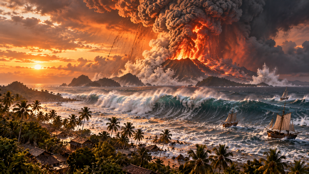
The 1883 Krakatoa (Krakatau) eruption in Indonesia’s Sunda Strait, between Java and Sumatra, was among the most destructive volcanic events in recorded history. Its catastrophic phase took place on August 26–27, 1883, producing vast explosions, island collapse and deadly tsunamis. NOAA estimates around 36,000 deaths overall; a historical tsunami dataset records 34,417 tsunami fatalities. These overlapping figures should not be added together.
How the eruption unfolded
Krakatau had been erupting intermittently since May. Activity intensified in late August with massive ash emissions, pyroclastic currents and explosions. On August 27, the most violent blasts were heard thousands of kilometres away and atmospheric pressure waves travelled around the world. The Smithsonian Global Volcanism Program classifies the event as VEI 6.
Why did a volcano produce a tsunami?
The eruption destabilised the volcanic island, and the collapse of part of its structure, together with volcanic material entering the sea, displaced enormous quantities of water. Scientists continue to examine the relative contributions of caldera collapse and pyroclastic flows. The resulting tsunami struck communities along both sides of the Sunda Strait.
Destruction across Java and Sumatra
Powerful waves destroyed villages, harbours and vessels. NOAA documents local tsunami heights of approximately 41 metres in particularly exposed places. This was a local maximum, not a single uniform wave height throughout the region. The catastrophe demonstrated how rapidly coastal volcanoes can create multiple hazards.
Deaths and differing historical counts
Contemporary and retrospective records vary. NOAA and USGS commonly cite around 36,000 deaths for the disaster. NOAA’s historical tsunami record gives 34,417 deaths attributed to waves. The figures describe overlapping losses and should not be combined into a new total.
Atmospheric and climate effects
Fine volcanic material and gases entered the upper atmosphere, affecting sunlight and producing vivid sunsets recorded far from Indonesia. NOAA describes global cooling of up to around 0.5°C during the year after the eruption. Regional temperature responses varied and historical estimates carry uncertainty.
Krakatau and Anak Krakatau
Much of the former volcanic island collapsed in 1883. A new volcanic cone, Anak Krakatau (“Child of Krakatau”), later grew within the caldera. Its eruptions and the deadly 2018 Sunda Strait tsunami are separate modern events.
Lessons for disaster risk reduction
Volcanoes can generate tsunamis without a major earthquake. Coastal residents need clear evacuation routes, volcanic monitoring, and reliable warnings for explosive eruptions, collapses and sea-level disturbances. Preparedness must account for ash, pyroclastic currents and tsunami inundation together.
Frequently asked questions
When did Krakatoa erupt?
The catastrophic phase occurred August 26–27, 1883, following earlier activity.
How high were the tsunami waves?
NOAA cites local heights near 41 metres in parts of the Sunda Strait; heights varied widely.
Does Krakatoa still exist?
The 1883 eruption destroyed much of the original island. Anak Krakatau subsequently formed in the caldera.
Official and scientific sources
- NOAA NCEI: Historic Krakatau Eruption
- NOAA: Volcano-generated tsunamis
- Smithsonian: Krakatau
- USGS: Deadliest eruptions
- Oregon State University: Eruption sounds
Historical article reviewed October 2026. The featured artwork is a conceptual reconstruction, not an authentic 1883 photograph.