OCTOBER 31, 2026 UPDATE. The U.S. National Weather Service in Guam cancelled Typhoon Warnings for Agrihan, Pagan and Alamagan as Typhoon In-fa moved away from the Northern Mariana Islands. The official local statement was issued at 2:46 a.m. ChST on October 31 (1:46 a.m. JST) and said that the storm had moved sufficiently far away to cancel the warnings. NWS Guam: October 31 warning cancellation.
Typhoon Warnings no longer in effect for the islands
The cancellation means the previously issued Typhoon Warnings were no longer active for these three islands as of the cited bulletin. Dangerous surf or other residual conditions can still require care. In-fa remained a typhoon over the western Pacific, but this report does not claim a new impact in Japan or any verified casualty or damage tally. Consult the latest NWS Guam notices for current safety information.
Earlier October 30 alerts and storm track
The following sections preserve earlier warnings as dated historical background. Those warnings were cancelled on October 31.
OCTOBER 31, 2026 UPDATE (JAPAN TIME). The U.S. National Weather Service confirmed that Typhoon In-fa passed north of Agrihan and typhoon-force winds were already occurring on the island, according to its 8:41 p.m. ChST October 30 statement. In a later 11:01 p.m. ChST advisory, the center was approximately 100 miles (161 km) northwest of Agrihan, with maximum sustained winds of 145 mph (233 km/h), moving northwest. Typhoon Warnings remained in effect for Alamagan, Pagan and Agrihan. The NWS forecast gradual weakening; the cited bulletins did not establish verified casualty or damage figures. NWS Guam, October 30 advisories.
Earlier forecast and background
The following material preserves the October 30 morning forecast as historical context and is not the latest position statement.
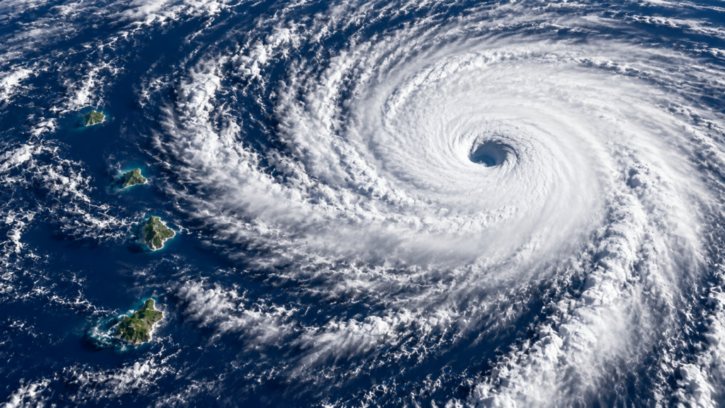
Super Typhoon In-fa (30W) is approaching the Northern Mariana Islands. The U.S. National Weather Service (NWS) has issued a Typhoon Warning for Agrihan, Pagan and Alamagan. Its 2:27 a.m. ChST October 30, 2026 local statement reports maximum sustained winds of 150 mph (approximately 241 km/h) near the storm center. This is the cyclone’s central intensity, not a measured wind speed at every island.
Track and forecast timing
At 1 a.m. ChST on October 30, the center was near 16.9°N, 150.4°E, about 305 miles (491 km) east of Alamagan, moving west at approximately 18 mph (29 km/h). NWS forecasts a gradual turn toward the northwest, with the center potentially passing close to or over Agrihan during the evening of October 30, local time. The forecast is subject to change and does not establish that landfall has occurred.
Destructive wind, coastal flooding and heavy rain risk
For Agrihan, NWS forecast possible 110–130 mph (177–209 km/h) destructive winds, with gusts up to 180 mph (290 km/h) near the storm’s center. Pagan and Alamagan may experience damaging winds as well. The agency warned of possible 30–40-foot surf (9–12 m), 3–6 feet (0.9–1.8 m) of coastal inundation in the areas nearest the center, and 8–12 inches (200–305 mm) of rainfall through Saturday. These are forecasts, not confirmed damage measurements.
What does a Typhoon Warning mean?
A Typhoon Warning means winds of at least 74 mph are expected and damaging tropical-storm-force winds of at least 39 mph may begin within 24 hours. NWS urged residents to complete preparations, secure loose objects, identify appropriate shelter, and stock water, food and medication. Follow local emergency management instructions and current NWS Guam updates.
Confirmed impact versus forecast hazard
The cited advisory does not establish a confirmed casualty or damage total for Agrihan, Pagan or Alamagan. This report describes the threat as it stood at the advisory time and should not be read as a real-time impact report.
Learn more about how tropical cyclones form and the differences between hurricanes, typhoons and cyclones.
Official sources
Report based on a dated October 30, 2026 NWS bulletin. Forecasts can change. Consult authorities for current warnings.